Eastern Long Island Sound at New London is a mixed sound, estuary, channel, and reef fishery shaped by tidal exchange, river-mouth influence, and nearby reef structure. Striped bass and bluefish dominate the migratory side of the fishery, while tautog and summer flounder add structure-oriented and bottom-fishing opportunities across the surrounding nearshore grounds.
Active coastal or marine alerts
Small Craft Advisory
Severity: Minor
Small Craft Advisory issued October 20 at 3:22PM EDT until October 22 at 6:00AM EDT by NWS Upton NY
Begins Oct 20, 2026, 3:22 PM · Ends Oct 22, 2026, 6:00 AM
Inexperienced mariners, especially those operating smaller vessels, should avoid navigating in hazardous conditions.
These values are tidal-current predictions, not real-time observed currents. They describe conditions near this prediction station rather than the entire surrounding coastal area.
Tidal-current timing can differ from high and low tide timing.
Fishery Profile
Fishery Overview
Eastern Long Island Sound estuary, channel, and reef fishery
A mixed sound, estuary, and channel fishery around New London where tidal exchange, river-mouth influence, and nearby reefs create shore and nearshore opportunities for migratory predators and hard-bottom species.
Fishery type
Sound estuary
Channel reef
Fishing modes
Shore
Inshore boat
Habitat and structure
Estuary and harbor channel edges influenced by tidal exchange · Sound shoreline points and current seams · Nearshore reefs and rocky bottom for tautog, scup, and black sea bass · Sand and mud channel edges used by summer flounder
Static seasonal guidance · Last reviewed Jul 18, 2026
Not a live bite forecast.
Fishery Targets
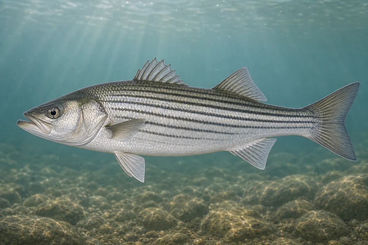
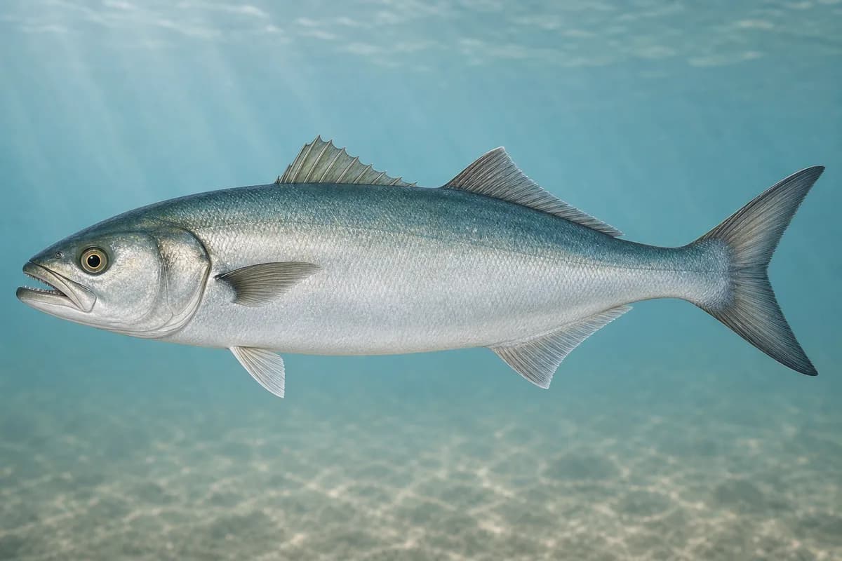
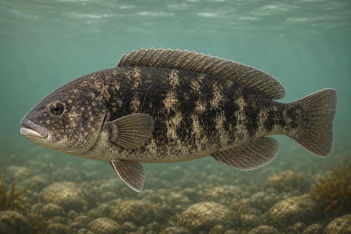
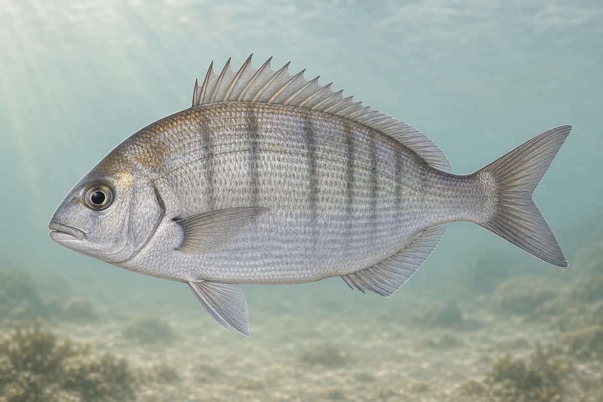
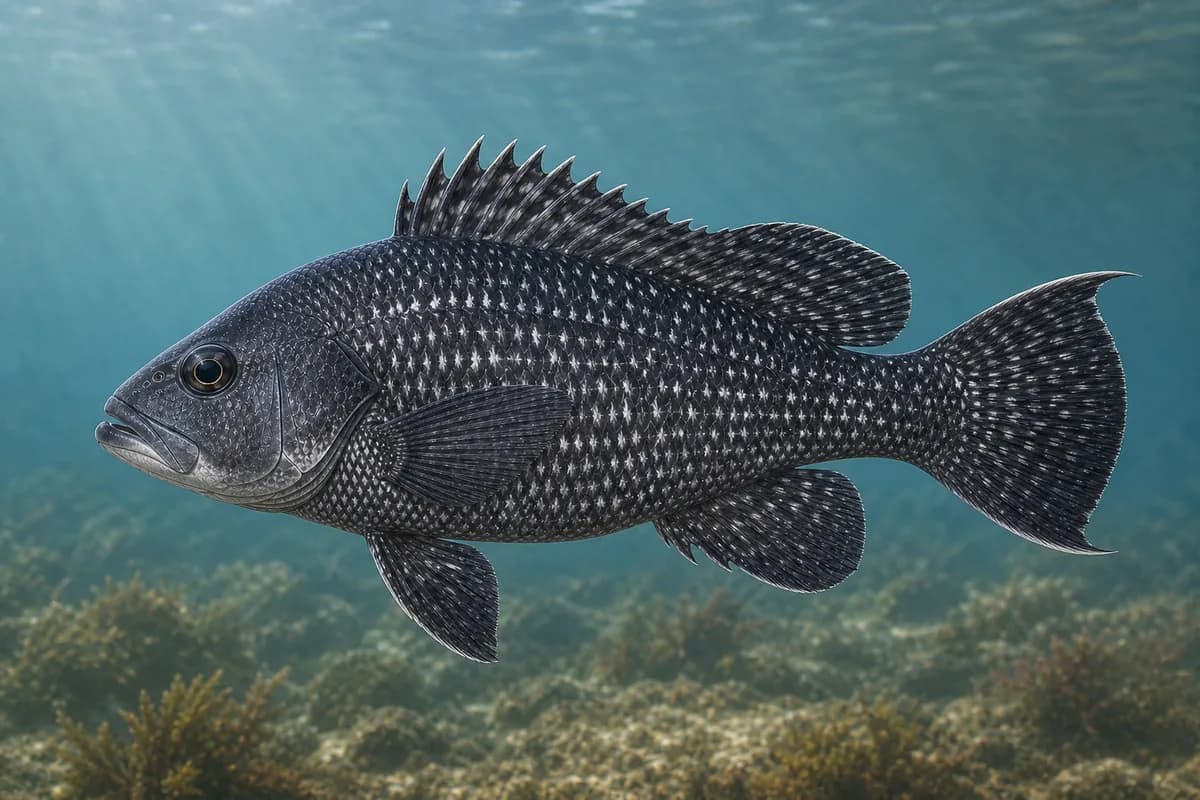
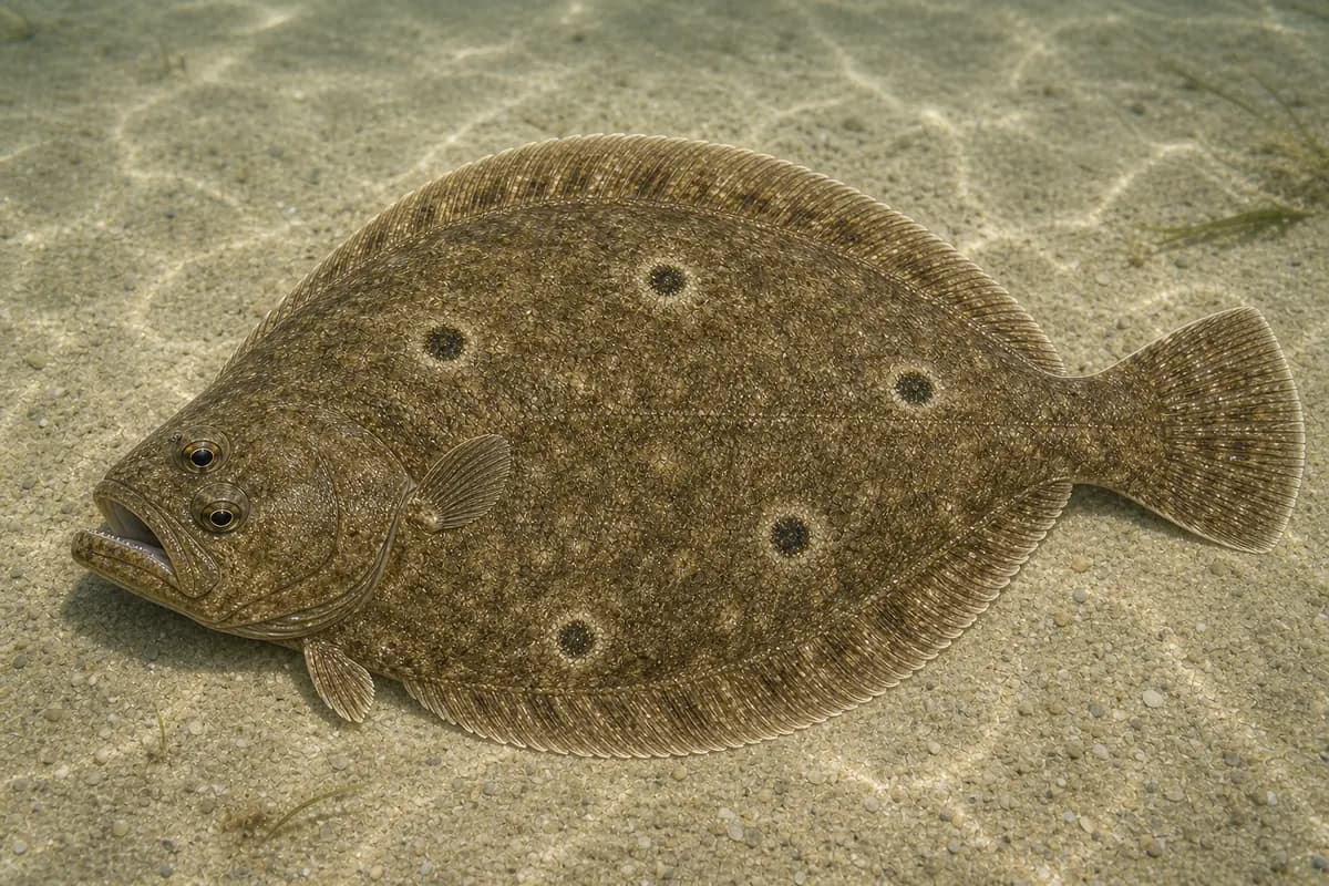
Striped bass and bluefish are the primary migratory targets through the warmer months. Tautog, scup, and black sea bass form the secondary hard-bottom fishery on reefs and rocky edges, while summer flounder are a secondary target along channel and sound edges in summer.
Species images are AI-generated illustrations for visual reference and may simplify natural variation. Fishery records are based on the cited agency and editorial sources. About fish illustrations
Striped bass
Primary
Morone saxatilis
Currently in a typical seasonal window
Typical seasonal window: APRIL — NOVEMBER
Bluefish
Primary
Pomatomus saltatrix
Currently in a typical seasonal window
Typical seasonal window: JUNE — OCTOBER
Tautog
Secondary
Tautoga onitis
Currently in a typical seasonal window
Typical seasonal window: APRIL — MAY; SEPTEMBER — NOVEMBER
Scup
Secondary
Stenotomus chrysops
Currently in a typical seasonal window
Typical seasonal window: MAY — OCTOBER
Black sea bass
Secondary
Centropristis striata
Currently in a typical seasonal window
Typical seasonal window: MAY — OCTOBER
Summer flounder
Secondary
Paralichthys dentatus
Typical seasonal window: MAY — SEPTEMBER
Typical Seasonal Targets
Striped bass — APRIL — NOVEMBER
Bluefish — JUNE — OCTOBER
Tautog — APRIL — MAY; SEPTEMBER — NOVEMBER
Scup — MAY — OCTOBER
Black sea bass — MAY — OCTOBER
Summer flounder — MAY — SEPTEMBER
Seasonal presence is general guidance and does not indicate current fish activity.
How to Fish Eastern Long Island Sound at New London
Typical October approaches include channel and point casting and reef and hard-bottom presentations for Striped bass and Bluefish.
Channel and point casting
Cast plugs, soft plastics, or jigs along channel edges and sound points where striped bass and bluefish move with tide and bait.
Best for
Striped bass
Bluefish
Modes
Shore
Inshore boat
Setup
Rip and channel-edge casting setup
Reef and hard-bottom presentations
Fish bait or jigs on rocky reefs and hard bottom for tautog, scup, and black sea bass when current allows a controlled drop.
Best for
Tautog
Scup
Black sea bass
Modes
Shore
Inshore boat
Setup
Reef and structure bottom setup
Common Tackle Setups
Rip and channel-edge casting setup
Shore or inshore-boat spinning tackle for casting or jigging along rips, reefs, and channel edges for striped bass and bluefish.
Rod
7–9 ft medium to medium-heavy spinning rod for casting along edges.
Reel
Spinning reel with solid drag for current and open-water runs.
Main line
Braided main line suited to casting and current.
Leader
Abrasion-resistant leader near reef and rock.
Terminal tackle
Snaps or loops for plugs, soft plastics, and jigs.
Presentation
Focus on reef, rip, channel-edge, and estuary presentations already listed in the profile.
Used for
Channel and point casting
Reef and structure bottom setup
Bottom-oriented tackle for tautog, scup, and black sea bass around reefs and structure.
Rod
Medium-heavy rod suited to reef and structure fishing.
Reel
Reel with enough power to lift fish away from structure.
Main line
Braided main line with abrasion resistance.
Leader
Shorter abrasion-resistant leader.
Terminal tackle
Jig heads or sinker setups sized to hold near structure.; Hooks suited to bait or jig presentations.
Presentation
Keep contact near reef and structure without excessive snagging.
Used for
Reef and hard-bottom presentations
Typical October Lures and Flies
Common lure and fly families associated with this month’s techniques.
Soft-plastic jig head
Lure
Striped bass
Bluefish
Tautog
Scup
Black sea bass
Midwater, Bottom, Variable · Jig, slow, drift
Keep intermittent bottom contact around structure and soft edges
Minnow-style swimming plug
Lure
Striped bass
Bluefish
Shallow to midwater · Steady, twitch, pause
Cast across seams and let the plug track with the current
Soft-plastic paddle tail
Lure
Striped bass
Bluefish
Shallow, Midwater, Variable · Steady, twitch, jig
Swim steadily through seams or hop lightly near bottom transitions
Hop, swim, or drift depending on depth and current speed
Reef and structure jig
Lure
Tautog
Scup
Black sea bass
Bottom · Jig, slow
Maintain near-bottom contact without burying the jig in snags
General seasonal guidance, not a live recommendation, product endorsement, or guarantee of success.
Access, Safety and Regulations
Access
Public fishing access around New London includes a mix of municipal waterfront, parks, and harbor facilities with posted rules. Private docks, restricted waterfront, and working harbor areas are not open fishing access. Confirm current public shore sites, parking, and launch facilities with local or state public-access information before visiting.
Primary hazards
Harbor and sound traffic, current near channel mouths, and slippery shoreline structure are the main hazards. Small craft should account for commercial and recreational vessel traffic. Shore anglers should watch footing on riprap and avoid fishing in active restricted or industrial zones.
Fishery considerations
Tide stage and channel current shape both predator movement and boat or shore positioning around the Thames River mouth and adjacent sound water. Falling and rising water can concentrate bait along edges.
Open sound fetch can raise chop quickly when wind opposes tide. Shore casting from exposed points is more limited in strong onshore wind.
Regulations
Size limits, seasons, and possession rules change. Verify the current official regulations before fishing.
The map marker represents the cataloged waterbody or monitoring location and may not indicate legal parking or public access. Confirm access through the official information before visiting.