New Bedford / Buzzards Bay is a harbor-and-bay fishery shaped by the hurricane barrier, tidal channels, rocky shoreline, and the broader Buzzards Bay coastline. Striped bass are the principal supported target, with bluefish adding a second major migratory opportunity.
Active coastal or marine alerts
Gale Warning
Severity: Moderate
Gale Warning issued October 20 at 1:23PM EDT until October 22 at 8:00AM EDT by NWS Boston/Norton MA
Begins Oct 20, 2026, 1:23 PM · Ends Oct 22, 2026, 8:00 AM
Mariners should alter plans to avoid these hazardous conditions. Remain in port, seek safe harbor, alter course, and/or secure the vessel for hazardous conditions.
These values are tidal-current predictions, not real-time observed currents. They describe conditions near this prediction station rather than the entire surrounding coastal area.
Tidal-current timing can differ from high and low tide timing.
Fishery Profile
Fishery Overview
New Bedford Harbor, hurricane barrier, and upper Buzzards Bay edges
A harbor-and-barrier fishery centered on New Bedford Harbor and the hurricane-barrier current regime, with nearshore relevance to upper Buzzards Bay. It is not a Woods Hole / Vineyard Sound destination and does not represent every ledge or open-bay location in Buzzards Bay.
Fishery type
Harbor barrier
Bay
Fishing modes
Shore
Inshore boat
Habitat and structure
New Bedford Harbor channels and edges · Hurricane-barrier current seams and exchange · Nearshore upper Buzzards Bay structure · Public shore access around harbor and lawful landings
Static seasonal guidance · Last reviewed Jul 22, 2026
Not a live bite forecast.
Fishery Targets
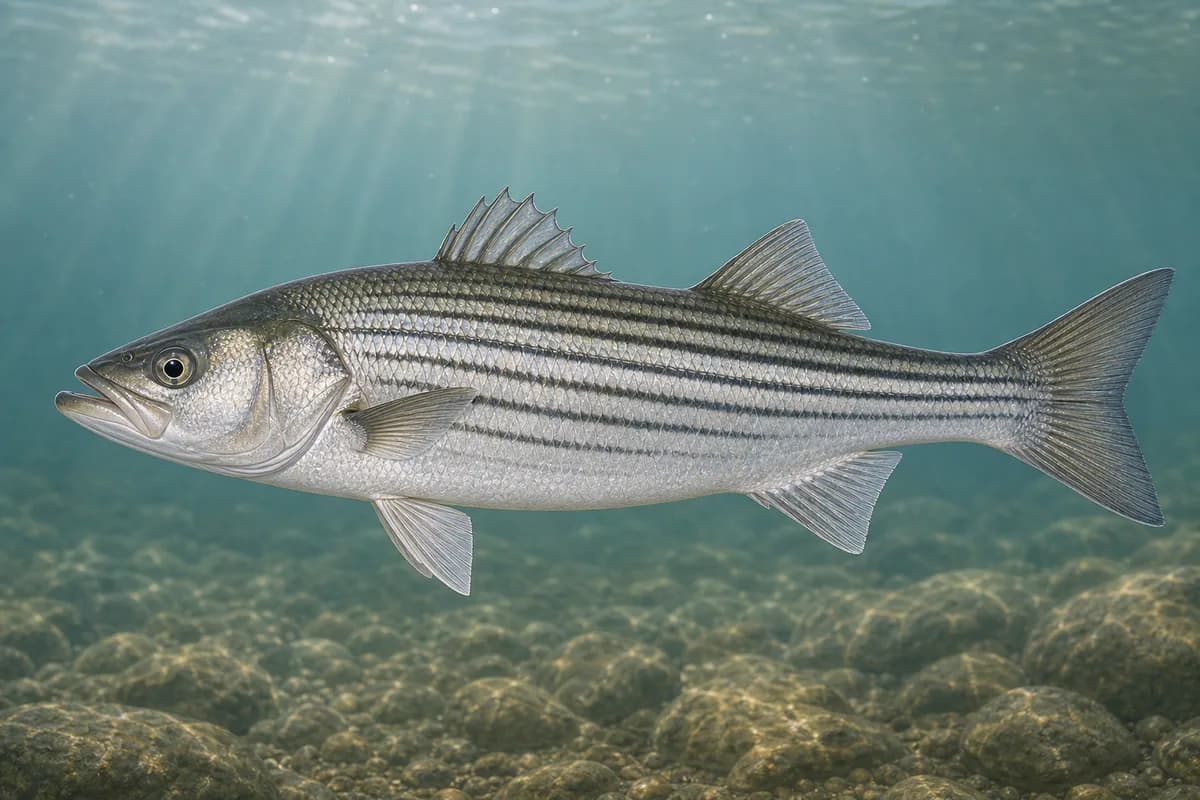
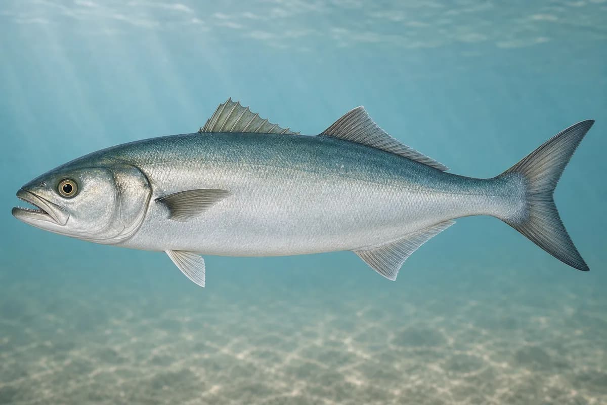
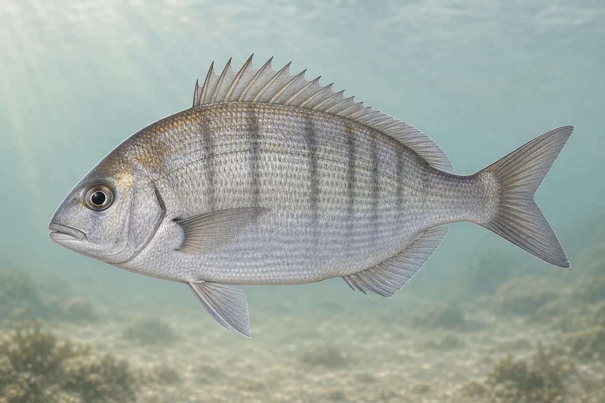
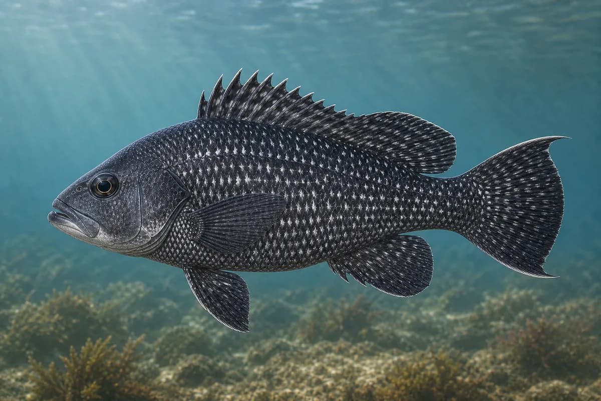
Striped bass lead the harbor and barrier fishery from spring through fall. Bluefish and bottom species fill warm months; bonito and false albacore are late-summer nearshore pulses when present.
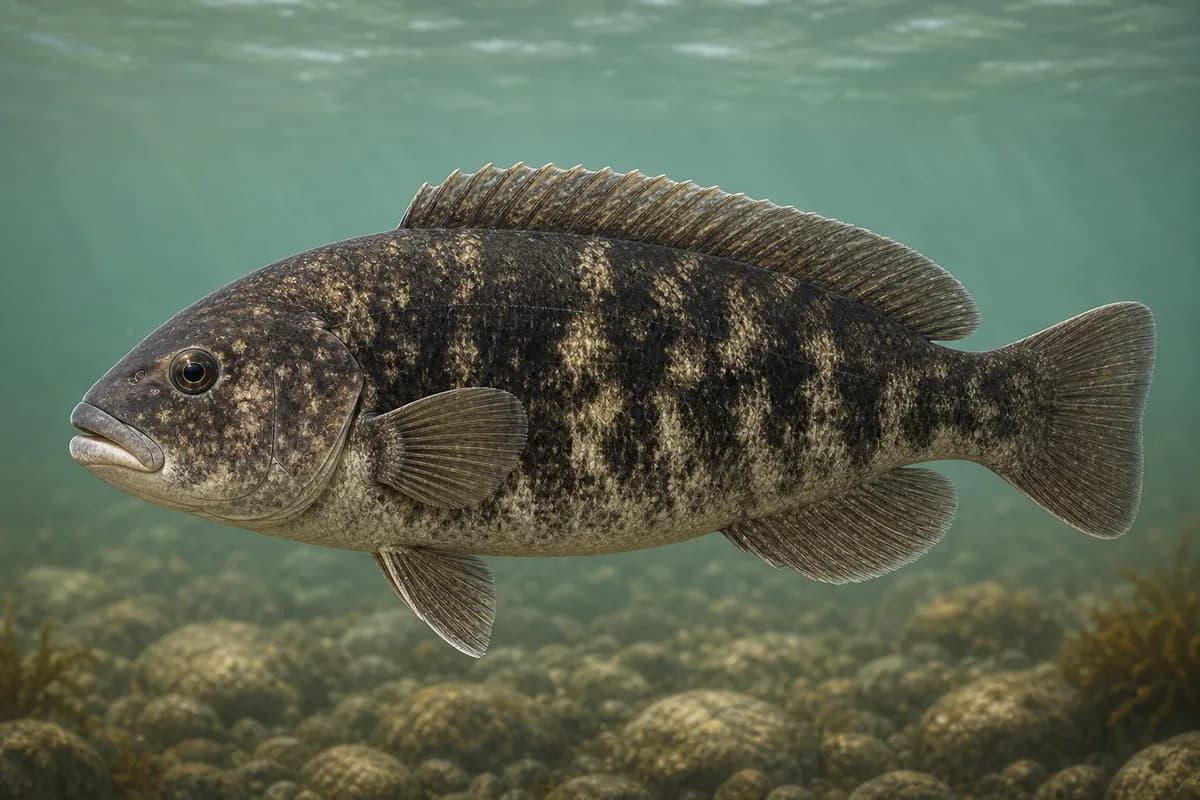
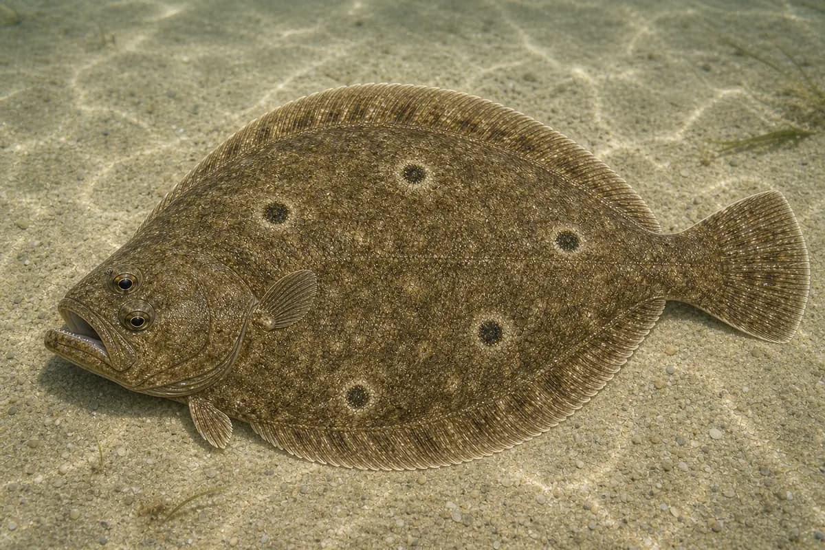
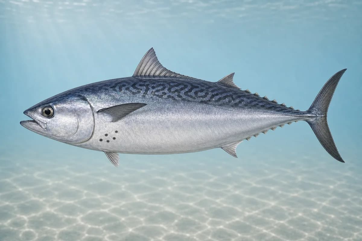
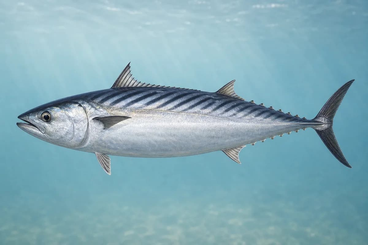
Species images are AI-generated illustrations for visual reference and may simplify natural variation. Fishery records are based on the cited agency and editorial sources. About fish illustrations
Striped bass
Primary
Morone saxatilis
Currently in a typical seasonal window
Typical seasonal window: MAY — NOVEMBER
Harbor edges, barrier current seams, and nearshore upper-bay structure.
Bluefish
Secondary
Pomatomus saltatrix
Currently in a typical seasonal window
Typical seasonal window: JUNE — OCTOBER
Scup
Secondary
Stenotomus chrysops
Currently in a typical seasonal window
Typical seasonal window: MAY — OCTOBER
Black sea bass
Secondary
Centropristis striata
Currently in a typical seasonal window
Typical seasonal window: MAY — OCTOBER
Tautog
Secondary
Tautoga onitis
Currently in a typical seasonal window
Typical seasonal window: APRIL — MAY; SEPTEMBER — NOVEMBER
Rocky structure and harbor edges; confirm current MA regulations.
Summer flounder
Secondary
Paralichthys dentatus
Typical seasonal window: MAY — SEPTEMBER
False albacore
Seasonal
Euthynnus alletteratus
Also called Little tunny
Currently in a typical seasonal window
Typical seasonal window: AUGUST — OCTOBER
More open upper-bay / nearshore oriented when warm water arrives; not a harbor-only claim.
Atlantic bonito
Seasonal
Sarda sarda
Currently in a typical seasonal window
Typical seasonal window: AUGUST — OCTOBER
Warm-water nearshore pulse when present; not guaranteed across the full window.
Typical Seasonal Targets
Striped bass — MAY — NOVEMBER
Bluefish — JUNE — OCTOBER
Scup — MAY — OCTOBER
Black sea bass — MAY — OCTOBER
Tautog — APRIL — MAY; SEPTEMBER — NOVEMBER
Summer flounder — MAY — SEPTEMBER
False albacore — AUGUST — OCTOBER
Atlantic bonito — AUGUST — OCTOBER
Seasonal presence is general guidance and does not indicate current fish activity.
How to Fish New Bedford / Buzzards Bay
Common seasonal approaches for this destination.
Barrier and harbor current-seam casting
Cast soft plastics, bucktails, and swimming plugs along hurricane-barrier and harbor-channel seams when tidal exchange concentrates bait.
Best for
Striped bass
Bluefish
False albacore
Atlantic bonito
Modes
Shore
Inshore boat
Setup
Harbor and barrier predator setup
Nearshore upper Buzzards Bay boat casting
Nearshore boat casting for predators and seasonal pelagics when conditions allow; do not extrapolate barrier predictions to every open-bay rip.
Best for
Striped bass
Bluefish
False albacore
Atlantic bonito
Modes
Shore
Inshore boat
Setup
Harbor and barrier predator setup
Fly fishing baitfish presentations
Cast baitfish streamers and epoxy minnow patterns along current seams and harbor edges when bait is present.
Best for
Striped bass
Bluefish
False albacore
Modes
Shore
Inshore boat
Setup
Harbor fly setup
Harbor structure and edge casting
Work harbor edges, bulkheads, and public-access seams for striped bass and bluefish.
Best for
Striped bass
Bluefish
Modes
Shore
Inshore boat
Setup
Harbor and barrier predator setup
Common Tackle Setups
Harbor and barrier predator setup
Medium-light to medium spinning for bass, bluefish, and seasonal pelagics in harbor and nearshore water.
Rod
7–8 ft medium-light to medium spinning rod.
Reel
Compact spinning reel.
Main line
Light braid.
Leader
Fluorocarbon leader.
Terminal tackle
Snaps.; Single-hook jigs.
Presentation
Match presentations to harbor/barrier seams; open-bay conditions can differ sharply from hurricane-barrier predictions.
Used for
Barrier and harbor current-seam casting
Nearshore upper Buzzards Bay boat casting
Harbor structure and edge casting
Harbor fly setup
Fly rod presentations for striped bass and bluefish along seams and edges.
Rod
8–9 wt fly rod.
Reel
Saltwater fly reel with adequate backing.
Main line
Floating or intermediate line matched to conditions.
Leader
Saltwater fluorocarbon or mono leader.
Terminal tackle
Loop-to-loop connections.
Used for
Fly fishing baitfish presentations
Typical October Lures and Flies
Common lure and fly families associated with this month’s techniques.
Lures
Pencil-style surface plug
Lure
Striped bass
Bluefish
Surface · Sweep, twitch, pause
Work across current seams and keep the plug on top without excessive splash
Minnow-style swimming plug
Lure
Striped bass
Bluefish
Shallow to midwater · Steady, twitch, pause
Cast across seams and let the plug track with the current
Soft-plastic paddle tail
Lure
Striped bass
Bluefish
Shallow, Midwater, Variable · Steady, twitch, jig
Swim steadily through seams or hop lightly near bottom transitions
Soft-plastic sand eel
Lure
Striped bass
Bluefish
Shallow to midwater · Steady, twitch, slow
Swim or twitch just above the bottom on flats and bar edges
Hop, swim, or drift depending on depth and current speed
Flies
General baitfish streamer
Fly
Striped bass
Bluefish
Modes
Shore
Inshore boat
Shallow to midwater · Steady, twitch, swing
Strip with short pauses so the fly tracks naturally through seams
General seasonal guidance, not a live recommendation, product endorsement, or guarantee of success.
Access, Safety and Regulations
Access
Use public harbor access, town landings, and lawful shore areas only. Do not enter restricted industrial, port, hurricane-barrier, Coast Guard, or private property.
Primary hazards
Strong barrier exchange, commercial traffic, and rapidly changing harbor conditions are primary hazards. Regional buoy seas are not New Bedford Harbor wave height.
Fishery considerations
Hurricane-barrier current predictions (COD0909) describe barrier/harbor exchange only. They are not observed currents, and they do not describe every outer Buzzards Bay rip.
A local wind observation is not available. Forecast wind informs trip planning.
Regulations
Size limits, seasons, and possession rules change. Verify the current official regulations before fishing.
The map marker represents the cataloged waterbody or monitoring location and may not indicate legal parking or public access. Confirm access through the official information before visiting.