Offshore
Stellwagen Bank
Offshore · Massachusetts · Stellwagen Bank National Marine Sanctuary / Massachusetts Bay
Location Snapshot
Stellwagen Bank is an offshore bank fishery east of Massachusetts, where shallow bank structure meets deeper surrounding water and creates productive pelagic and bottom-fishing habitat. Tuna and other open-water targets share the fishery with species associated with the bank and its depth transitions.
Information Only
StrikeTracks does not currently provide an Offshore fishing-condition rating. Marine Conditions are observations and forecasts for trip planning. They are not an Excellent, Good, Fair, or Poor fishing score.
Marine Conditions
Planning context — not a fishing rating.
Marine Forecast
Tonight
NE winds 20 to 25 kt with gusts up to 30 kt. Seas 6 to 8 ft. Wave Detail: NE 8 ft at 8 seconds and NW 2 ft at 5 seconds.
Wave Height
6.6 ft
Nearby / representative
Massachusetts Bay (44029) · NDBC 44029
Wave Period
8 s
Nearby / representative
Massachusetts Bay (44029) · NDBC 44029
Water Temperature
56.8°F
Nearby / representative
Massachusetts Bay (44029) · NDBC 44029
Marine Alerts
- Small Craft Advisory · Minor — Small Craft Advisory issued October 20 at 1:23PM EDT until October 22 at 8:00AM EDT by NWS Boston/Norton MA
Nearby fishing destinations
Massachusetts · Massachusetts North Shore · Harbor
Approximately 20.8 miles away
New Hampshire · Jeffreys Ledge / Gulf of Maine · Offshore
Approximately 26.7 miles away
Massachusetts · Massachusetts Bay · Harbor
Approximately 32.1 miles away
Fishery Profile
Fishery Overview
Stellwagen Bank offshore fishery
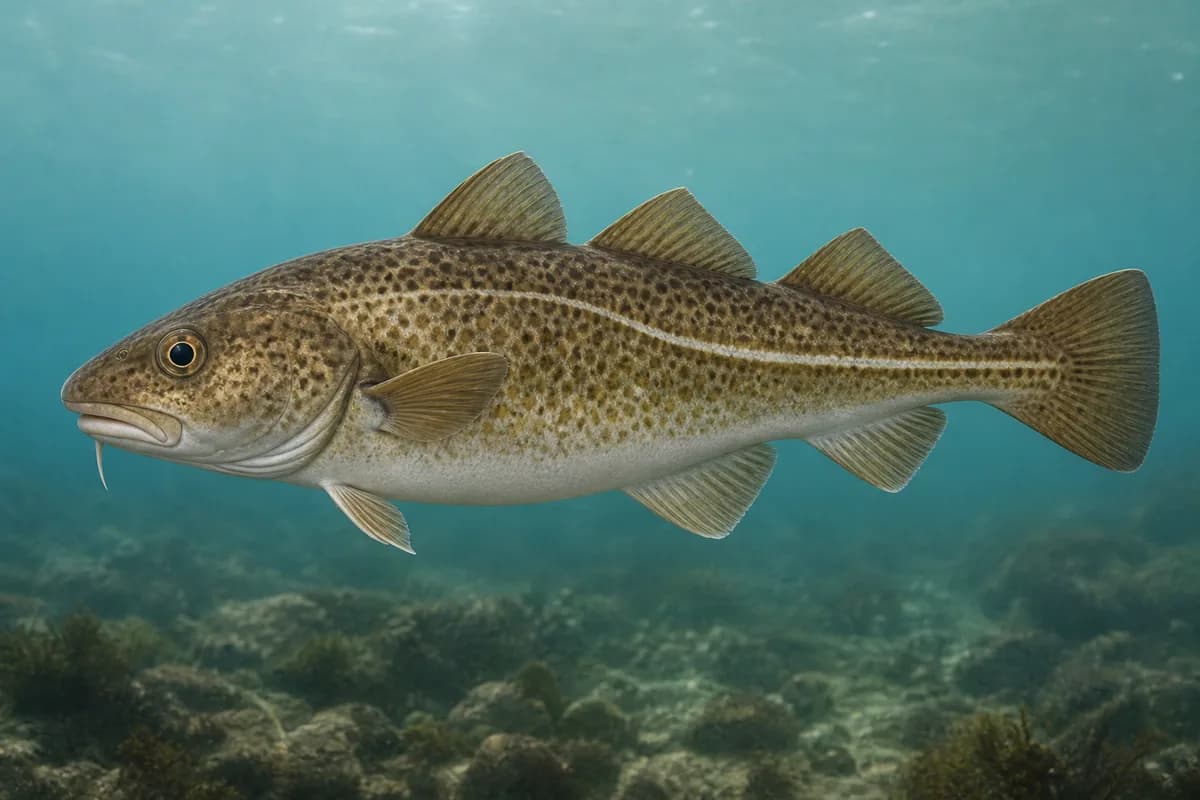
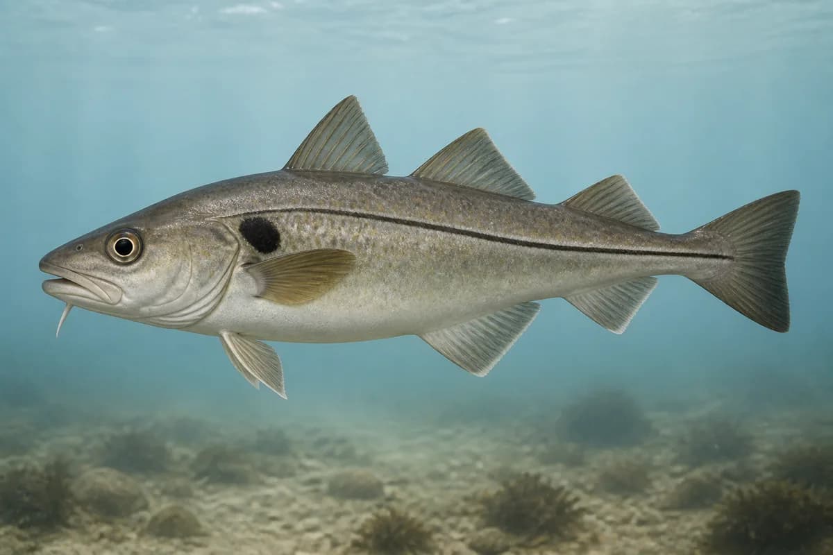
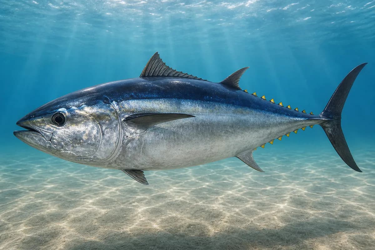
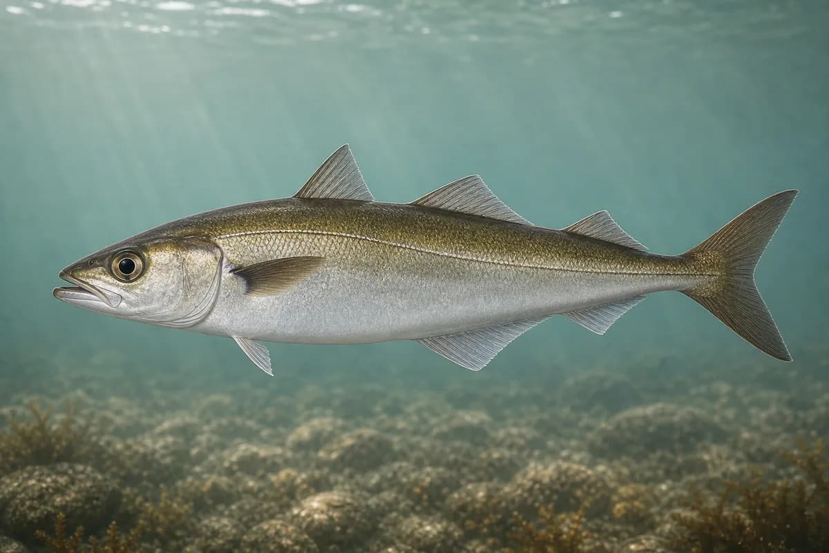
Stellwagen Bank is an offshore bank in Massachusetts Bay, inside Stellwagen Bank National Marine Sanctuary. Atlantic cod, haddock, and Atlantic bluefin tuna are the bank fish, along with pollock and Atlantic mackerel. It is sanctuary water. Fishing is generally allowed. The bank is not a no-take reserve, and gear and wildlife-distance rules still apply.
- Habitat and structure
- Sandy/gravel bank · Sanctuary waters · Groundfish and tuna water
Static seasonal guidance · Last reviewed Sep 2, 2026
Not a live bite forecast.
Fishery Targets
Cod and haddock are seasonal groundfish here. Bluefin tuna are seasonal, and federal rules change each year. Pollock follow a typical season.
This reflects typical biological/fishery timing, not a legal open season. Check current regulations before fishing.
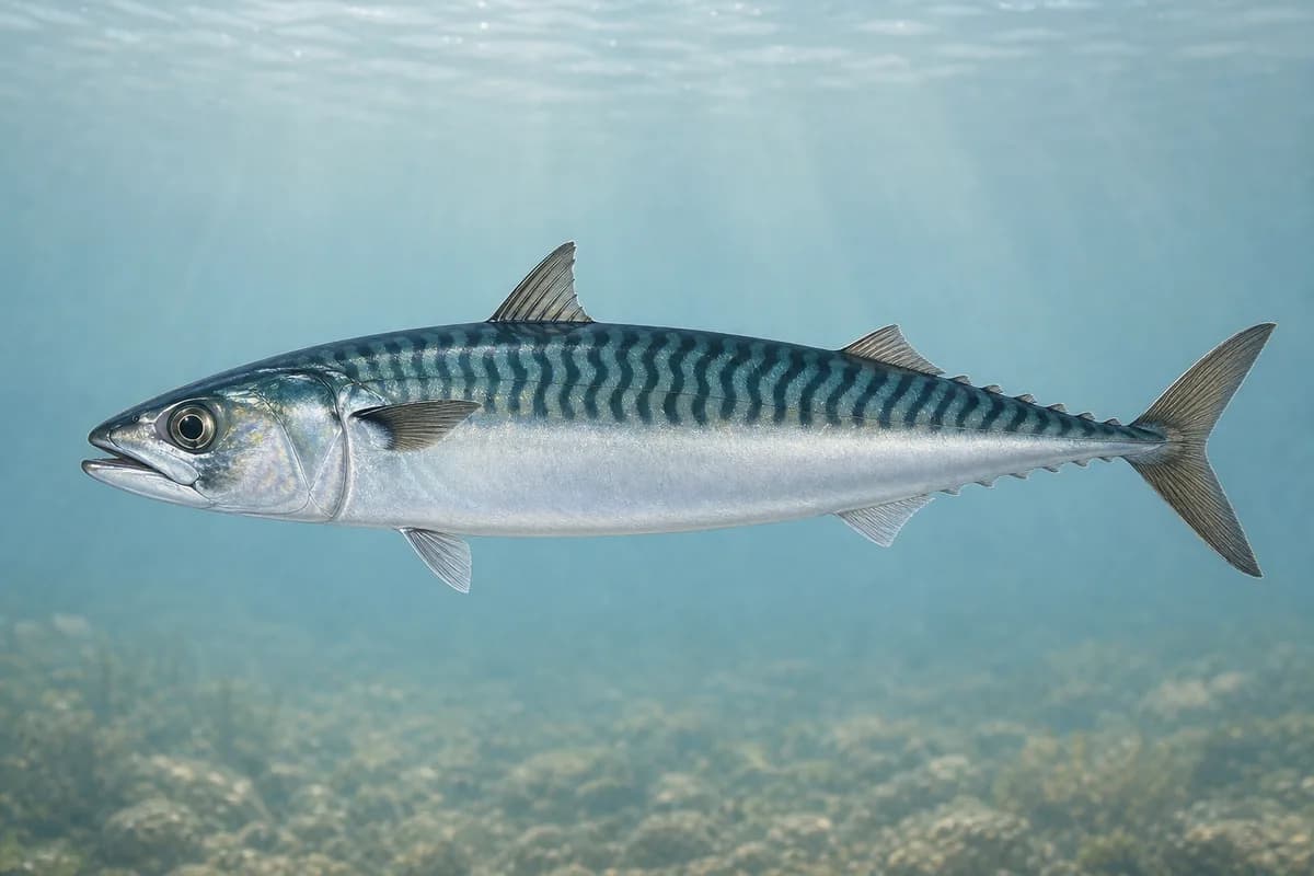
Species images are AI-generated illustrations for visual reference and may simplify natural variation. Fishery records are based on the cited agency and editorial sources. About fish illustrations
Gadus morhua
Currently in a typical seasonal window
Typical seasonal window: APRIL — OCTOBER
Melanogrammus aeglefinus
Currently in a typical seasonal window
Typical seasonal window: APRIL — OCTOBER
Atlantic bluefin tuna
PrimaryRegulations vary annuallyThunnus thynnus
Also called Bluefin tuna
Typical seasonal opportunity: LATE SPRING — SUMMER
Pollachius virens
Typical seasonal opportunity: SPRING — FALL
Atlantic mackerel
SecondaryScomber scombrus
No seasonal pulse known
Typical Seasonal Targets
- Atlantic cod — APRIL — OCTOBER
- Haddock — APRIL — OCTOBER
- Atlantic bluefin tuna — LATE SPRING — SUMMER
- Pollock — SPRING — FALL
Seasonal presence is general guidance and does not indicate current fish activity.
How to Fish Stellwagen Bank
Typical October approaches include bottom and structure jigging and mark-and-drift groundfish for Atlantic cod and Haddock.
Bottom and structure jigging
Vertical or short-hop jigs on live bottom, wrecks, banks, or ledges from an offshore boat.
Setup
- Medium-heavy jigging and bottom tackle
Mark-and-drift groundfish
Drift or slow-present baits on marked groundfish water. Drift or slow-present baits on the marked groundfish water.
Setup
- Medium-heavy jigging and bottom tackle
Common Tackle Setups
Medium-heavy jigging and bottom tackle
Jigging or conventional bottom outfits heavy enough for grouper, snapper, or groundfish. Circle-hook bottom rigs where required.
- Rod
- Match rod class to the listed offshore techniques.
Used for
- Bottom and structure jigging
- Mark-and-drift groundfish
Typical October Lures and Flies
Common lure and fly families associated with this month’s techniques.
Midwater to variable · Jig, fast, steady
Cast and retrieve with a steady or pulsed cadence through bait schools
Midwater to bottom · Jig, fast
Maintain contact and vary hop height until fish show a preferred cadence
Reef and structure jig
LureBottom · Jig, slow
Maintain near-bottom contact without burying the jig in snags
General seasonal guidance, not a live recommendation, product endorsement, or guarantee of success.
Access, Safety and Regulations
Access
Reached by offshore boat from Boston, Plymouth, Gloucester, and other Massachusetts Bay ports. There is no shore access on the bank.
Primary hazards
Open Massachusetts Bay seas, vessel traffic, and fog are the primary hazards. Nearby harbor tides is not bank-local.
Fishery considerations
- Harbor tides do not describe this bank. Boston or Gloucester harbor tides are not representative of this location.
- Use regional NWS marine forecasts.
Regulations
Size limits, seasons, and possession rules change. Verify the current official regulations before fishing.
Fishery Sources
Editorial and agency sources supporting this fishery profile. Live and predicted conditions use the separate Data Sources section.
Location and Access
This marker is the mapped fishing area. It is not a boat ramp, a parking area, or a place to drive to.