
Coastal
Tide, Current, and Wind at a Real Coastal Destination
Boston Harbor and Islands shows how StrikeTracks keeps tide level, tidal current, wind, and nearby waves on separate hooks — and why none of them guarantee a fish.
StrikeTracks Editorial Team2 min read
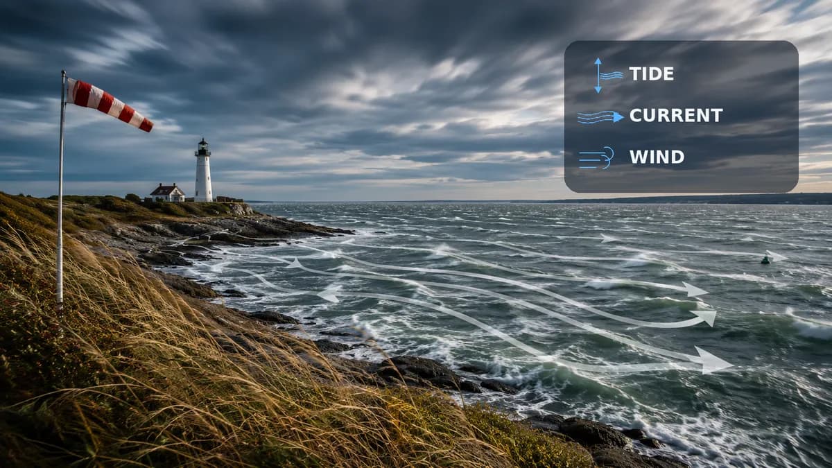
Boston Harbor and Islands is a harbor-island fishery with channels, rocky edges, and protected coves that do not share one water story. StrikeTracks does not collapse tide, current, wind, and waves into an invented ocean score. This article is about those source relationships. It is not a claim about today’s Boston weather, and it is not a promise that striped bass will eat.
Tide level is not tidal current
Tide is vertical water level. NOAA CO-OPS station 8443970 (Boston) supplies tide predictions and water-level observations for this destination. StrikeTracks records that station as nearby — about 6.6 miles from the catalog point — not as an instrument sitting on an island shore. High water at Boston is not automatically high water in every island cove, and a large tide range is not the same thing as a fast current.
Tidal current is horizontal water motion. For this destination StrikeTracks uses NOAA current station ACT1286 as at-location. That prediction is a Gallops Island channel, not Boston Inner Harbor and not the Charles River. NOAA’s current-prediction guidance is explicit that those products omit wind, weather, and river flow at the surface. A slack tide table can still sit next to a hard predicted current in a narrow island channel.
Wind and waves are a third and fourth signal
Wind is a marine and forecast product, not a tide height. Waves at NDBC 44013 are nearby Massachusetts Bay observations. The catalog already warns that buoy waves may differ from more protected harbor-island water. Wind against an ebb can steepen a short sea while the tide table still looks ordinary. That is waves plus current, not “a big tide.”
- Use the Boston tide station as nearby context, not as an islands gauge.
- Use Gallops Island currents as channel current, not as Inner Harbor or Charles River current.
- Use 44013 as nearby bay waves, not as proof a protected cove is calm or breaking.
- Coastal Estimated Conditions are not an implied product class on this page.
Recommendation context without a success guarantee
Should I Go on a coastal destination, when it can be shown, is still decision support. Striped bass, bluefish, and tautog have seasonal windows on the Boston Harbor Islands fishery profile. Those windows do not convert a fair marine day into a bite forecast. Check NWS marine headlines, access, and Massachusetts fishing rules before you leave. For the three-signal primer this case study sits on, read Tide, Current, and Waves. For wind specifically, Wind and Coastal Fishing.
Sources and methodology
These are the primary sources this article actually relies on. Linked agencies do not endorse StrikeTracks conclusions.
- NOAA: tides and currents — NOAA separates tide (vertical water level) from current (horizontal water motion).
- NOAA CO-OPS 8443970 — Boston — Tide predictions and water-level observations configured for Boston Harbor and Islands. StrikeTracks records this station as nearby, not an islands instrument.
- NOAA CO-OPS current predictions user guide — Current predictions omit wind, weather, and river flow at the surface. They are not the same product as a tide table.
- NDBC 44013 — Boston Harbor buoy — Nearby Massachusetts Bay wave and marine observations. Harbor-island conditions can differ from the buoy.
- StrikeTracks Research & Methodology — Boston Harbor and Islands source relationships are from the StrikeTracks coastal catalog: tide 8443970 nearby, current ACT1286 at-location at Gallops Island, NDBC 44013 nearby. Catalog limitations are quoted in substance, not as a live marine forecast.
Related Fishing Insights
- Tide, Current, and Waves: Three Different Coastal Fishing Signals
Tide is water level. Current is water moving sideways. Waves are mostly wind acting on the surface. Mixing the three into one “the ocean is up” sentence hides the information that actually changes a trip.
- How Tides Affect Coastal Fishing
Tides change water height; tidal currents change how water moves. NOAA is the U.S. authority for predictions. Here is what that means for anglers and how StrikeTracks presents coastal tides.
- Wind and Coastal Fishing: What Anglers Should Watch
Wind changes waves, boat control, and how water moves near shore. National Weather Service marine products are the place to start — and they are not a fishing-success forecast.