
Offshore
How to Read Offshore Marine Conditions Before a Fishing Trip
What the Marine Conditions section on a StrikeTracks Offshore page tells you — official forecasts, observations, and alerts as planning context — and why those signals are not a fishing-condition rating.
StrikeTracks Editorial Team5 min read
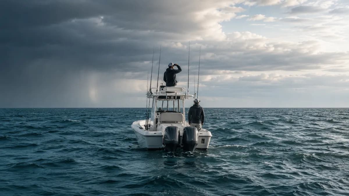
Offshore planning begins with marine weather and sea-state context, not with a fishing score. On a StrikeTracks Offshore page, supported official forecasts and observations may appear in Marine Conditions. That section is planning context. It is not a live weather broadcast, not a seamanship substitute, and not a promise that fish will be there.
This article answers a narrower question: what does Marine Conditions tell you, and what does it not tell you? It does not freeze today’s observations, invent a safe wave-height or wind-speed cutoff, or turn Offshore into a rated fishing product.
Offshore is different from a fishing-condition rating
StrikeTracks currently classifies Offshore fishing-condition status as Information Only. That classification is intentional. There is no live Offshore fishing-condition product by design. Information Only is not Excellent, Good, Fair, or Poor. It is not Estimated Conditions. It is not Unavailable.
Information Only does not mean “no useful information.” Static fishery context can still be present. Marine Conditions, when supported, are a separate planning-context surface. An active condition product that cannot currently produce a result is Unavailable. No live-condition product by design is Information Only. Mixing those two states hides the actual product contract.
Details of how StrikeTracks classifies conditions are on Research & Methodology. The disclaimer still applies: conditions change, official sources remain authoritative, and you remain responsible for safety, access, and regulations.
Start with the marine forecast
The National Weather Service publishes marine forecasts and warnings for coastal waters, the Great Lakes, and Offshore and High Seas waters. Offshore waters forecasts are subdivided by marine zone, each identified by a text description and a Universal Generic Code. Some of those offshore waters forecasts are prepared by the Ocean Prediction Center and other NWS marine forecast offices.
A marine forecast zone is a broad forecast area. It is not a pin on your fishing spot. Read the issuance time and date. NWS itself tells users to check when the product was issued. A forecast describes expected conditions over a period. A buoy observation describes what was measured at a station at a time. Do not treat them as the same product.
On StrikeTracks, some Offshore destinations use a configured marine-zone forecast. Others use regional forecast context from an NWS office. Regional context must stay labeled regional. It is not an at-location forecast.
Read wind and waves separately
Wind and waves are related, but they are not one number. NDBC records wind direction as the direction the wind is coming from, and wind speed as an average over a defined sampling period for that station type. Significant wave height is the average of the highest one-third of waves during the wave sampling period. Dominant wave period is the period with the maximum wave energy. Wave direction, when reported, is the direction those dominant-period waves are coming from.
Those fields can disagree with each other in ways that matter for a boat ride. Wind against current can steepen a sea. A moderate wind with a long-period swell is not the same day as a short, wind-driven chop. Route, current, and vessel still change what those numbers mean on the water. StrikeTracks does not publish a universal “safe” wave height or wind speed. No such threshold belongs in this article.
Coastal anglers already separate tide, current, and waves; see Tide, Current, and Waves and Wind and Coastal Fishing. Offshore Marine Conditions keep that same discipline: do not collapse wind, waves, and forecast text into one “the ocean is up” verdict.
Understand buoy observations
The National Data Buoy Center publishes point observations from buoys and related stations. A station measures the water and air at that instrument, not at every destination on the map. StrikeTracks may show an observation as at-location, nearby / representative, or not at all. Nearby / representative means the station is an accepted relationship for planning context. It is not physically at the fishing spot.
StrikeTracks does not silently substitute a nearest buoy that the catalog has not approved. Missing wave or temperature observations stay missing. A blank field is more honest than a borrowed number from the wrong water.
Water temperature is context, not a bite guarantee
NDBC water temperature is a localized sea-surface measurement at the station. Temperature can affect fish distribution and behavior. A single observation does not prove that a target species is present, feeding, or legal to harvest. It does not create a seasonal calendar. It does not turn Information Only into a fishing rating.
Treat water temperature as one planning clue beside forecast, wind, waves, and alerts — then confirm regulations and local knowledge independently.
Regional forecast versus at-location data
Some Offshore destinations use regional forecast context rather than a destination-specific marine zone. Regional must remain labeled regional. Never read it as “observed at the fishing spot.” The same rule applies to nearby / representative buoys: useful, disclosed, and not at-location.
If a label says regional or nearby / representative, believe the label. The product is showing a relationship, not relocating the sensor.
Alerts deserve separate attention
Marine warnings and advisories are operational and safety information from authoritative sources. They are not a StrikeTracks fishing score. Read the event, severity, and headline, then follow the official source for details, timing, and affected waters. StrikeTracks does not replace NWS, the U.S. Coast Guard, or local authorities.
An alert can be the most important item on the page even when the rest of Marine Conditions looks ordinary. Do not average it into a fishing-window adjective. For inland and coastal forecast reading more generally, see Reading a Fishing Forecast.
What it means when Marine Conditions are absent
If there is no usable forecast, no approved observations, and no active alerts, StrikeTracks suppresses an empty Marine Conditions section. That fail-soft behavior is not rating Unavailable. It is not a hidden Excellent or Poor. The product does not invent fallback values to keep a shell on the page.
The Offshore destination can still be in the catalog. Fishing-condition status remains Information Only. Absence of Marine Conditions means those planning signals are not currently showable — not that StrikeTracks calculated a fishing rating and declined to display it.
A practical Offshore planning checklist
- Read the marine forecast and its issuance time. A zone forecast covers a broad area.
- Review alerts, warnings, and advisories as their own operational information.
- Compare wind and waves as separate fields. Do not look for a universal safe threshold.
- Note whether each signal is at-location, nearby / representative, or regional context.
- Treat water temperature as localized context, not a guarantee of fish presence.
- Recheck before departure. Marine weather and sea state can change after you first looked.
- Independently use seamanship, local knowledge, regulations, and access rules. StrikeTracks does not replace those.
On StrikeTracks
On an Offshore page you are looking at two layers that must stay separate. Information Only is the fishing-status layer: StrikeTracks does not currently calculate an Offshore fishing-condition rating. Marine Conditions are the planning-context layer: supported official forecasts, alerts, or approved observations, when they exist.
Explore Offshore destinations from the homepage, including Stellwagen Bank. Coverage and catalog membership are described on Coverage. For what makes a fishing window “good” on rated waters, see What Makes a Fishing Window “Good”? — and do not copy that rating language onto Offshore Marine Conditions.
Sources and methodology
These are the primary sources this article actually relies on. Linked agencies do not endorse StrikeTracks conclusions.
- NOAA NWS Marine Weather Services — NWS marine services include forecasts and warnings for coastal waters, the Great Lakes, and Offshore and High Seas waters. Forecast products have issuance time and are not the same as a buoy observation.
- NWS: U.S. Offshore Marine Text Forecasts by Zone — Offshore waters forecasts are subdivided by marine zone (UGC). Some are prepared by the Ocean Prediction Center and other NWS marine forecast offices. NWS tells users to check the time and date of the forecast.
- NWS: Marine Text Forecasts by Zone — NWS publishes marine text forecasts by zone for U.S. coastal, Great Lakes, Gulf, Atlantic, Pacific, Alaska, and Pacific Islands waters. A zone forecast covers a broad marine area, not a single fishing spot.
- NDBC measurement descriptions and units — NDBC defines wind direction as the direction the wind is coming from, wind speed as a timed average, significant wave height as the average of the highest one-third of waves in the sampling period, dominant period as the period with maximum wave energy, and water temperature as a localized sea-surface measurement.
- StrikeTracks Research & Methodology — StrikeTracks separates Offshore fishing-condition status from Marine Conditions. Offshore destinations are currently Information Only for the fishing-condition rating; supported Marine Conditions are planning context and may include official forecasts, alerts, or approved representative observations. Information Only is not Unavailable, and Marine Conditions are not Estimated Conditions or an Excellent / Good / Fair / Poor fishing score.
Related Fishing Insights
- Tide, Current, and Waves: Three Different Coastal Fishing Signals
Tide is water level. Current is water moving sideways. Waves are mostly wind acting on the surface. Mixing the three into one “the ocean is up” sentence hides the information that actually changes a trip.
- Wind and Coastal Fishing: What Anglers Should Watch
Wind changes waves, boat control, and how water moves near shore. National Weather Service marine products are the place to start — and they are not a fishing-success forecast.
- Reading a Fishing Forecast: What Weather Data Actually Tells You
A weather forecast describes the atmosphere. It does not measure river flow, lake temperature at depth, or whether fish will feed. Here is how to use forecast fields without translating them into a bite report.
- What Makes a Fishing Window “Good”?
A good window is a planning judgment under uncertainty — not a promise that fish will eat. StrikeTracks ratings and Should I Go are decision support built from destination-specific evidence.