
Trip planning
Reading a Fishing Forecast: What Weather Data Actually Tells You
A weather forecast describes the atmosphere. It does not measure river flow, lake temperature at depth, or whether fish will feed. Here is how to use forecast fields without translating them into a bite report.
StrikeTracks Editorial Team2 min read
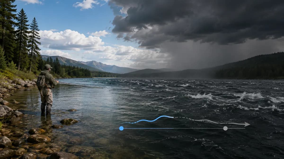
People say “the fishing forecast” when they mean a weather app. That nickname causes trouble. The National Weather Service forecasts air temperature, sky cover, precipitation chances, wind, and — on marine products — seas and headlines. Those are atmospheric fields. They are useful. They are not a gage, a tide station, or a statement that bass will chew at 6 a.m.
What the common fields actually are
Air temperature is the expected temperature of the air, not of the river or the thermocline. Precipitation chance is a probability that measurable rain (or snow) occurs at a point in the forecast area during the period — it is not a promise of how many inches will fall on your put-in, and it is not a hydrograph. Wind is a vector that affects boat control and waves; on the coast, NWS marine criteria for Small Craft Advisories vary by region. Sky cover changes light. None of these fields compute cubic feet per second.
Marine and inland products are different tools
A county-zone forecast and a nearshore marine forecast can disagree in emphasis because they are written for different hazards. If you are launching a small boat, the marine product is the one that talks about waves and small-craft headlines. If you are walking a trout meadow, lightning, flash-flood watches, and air temperature may matter more than a two-foot sea. Use the product that matches the water.
What a forecast cannot replace
- USGS discharge and gage height on a river. Rain upstream may already be in the channel — or may not have arrived yet.
- Measured water temperature. A hot forecast day can sit on a spring creek that stays cold; a mild day can sit on a wide, dark lake that has already warmed.
- NOAA tide and current predictions. Wind can distort them; it does not rewrite the astronomical table by itself.
- StrikeTracks destination evidence. Forecast weather on a page is still weather. It does not upgrade Estimated Conditions into monitoring-backed data.
How to use a forecast with StrikeTracks
Open the destination, read the evidence class, then use the forecast for the hazards and comfort you actually face: wind, lightning, heat, cold, and precipitation timing. If the river has a gage relationship, compare the forecast rain to the recent hydrograph rather than assuming “30% chance” means the river will stay put. Why Fishing Conditions Can Change So Quickly and Fishing After Rain cover those jumps.
StrikeTracks may display weather among a destination’s configured observations. That display is decision support, not a fishing-success index. For lakes specifically, surface weather and water-column structure are easy to confuse — How Weather Affects Lake Fishing Conditions. For the product walkthrough, see How to Use StrikeTracks to Plan a Fishing Trip.
Related Fishing Insights
- How Weather Affects Lake Fishing Conditions
Air temperature, wind, clouds, and rain change a lake’s surface quickly. They do not replace water-column physics, and they do not make every lake equally observable.
- Why Fishing Conditions Can Change So Quickly
Rivers rise on a delay, wind builds waves in hours, and tides turn on a clock. A morning snapshot is not a day-long guarantee — on StrikeTracks or on the water.
- How to Use StrikeTracks to Plan a Fishing Trip
A practical walkthrough of Explore, destination pages, evidence classes, and trip guidance — without treating StrikeTracks as a guarantee of success or safe access.